
Bryan ZIP Leads and Limits
The research supports seven Bryan ZIP leads, but it does not establish a current post-office name, delivery type, or street-by-street boundary for each one. The official postal lookup did not render live results during text inspection. The table therefore records what the sources do support and leaves the unknown postal detail explicit. Use it as a starting list, then verify a complete address through USPS before assigning a ZIP to a location.
| ZIP | Areas Covered | Post Office | Notes |
|---|---|---|---|
| 77801 | Bryan postal and statistical lead | Not located in official sources | Verify the exact street with USPS; do not assume a city-limit match. |
| 77802 | Bryan postal and statistical lead | Not located in official sources | Compare USPS, Census ZCTA, and City GIS. |
| 77803 | Common Bryan address lead | Not located in official sources | Its exact delivery classification requires USPS confirmation. |
| 77805 | Historic or administrative Bryan postal association | Not located in official sources | Confirm current use and whether it is a PO-box or administrative designation. |
| 77806 | Historic or administrative Bryan postal association | Not located in official sources | Confirm current use and whether it is a PO-box or administrative designation. |
| 77807 | Bryan-area ZIP and ZCTA lead | Not located in official sources | The boundary may extend beyond Bryan. |
| 77808 | Bryan-area ZIP and ZCTA lead | Not located in official sources | The boundary may extend beyond Bryan. |
A 2024 Postal Bulletin associates 77801, 77802, 77803, 77807, and 77808 with Bryan. A 2015 bulletin places 77805 and 77806 in the Bryan and College Station postal context, and a Texas General Land Office postal list includes 77801, 77802, 77803, 77805, and 77806 as Bryan entries. Those dated lists are useful leads, not a substitute for a current USPS street result.
USPS Confirms Bryan ZIP Routes
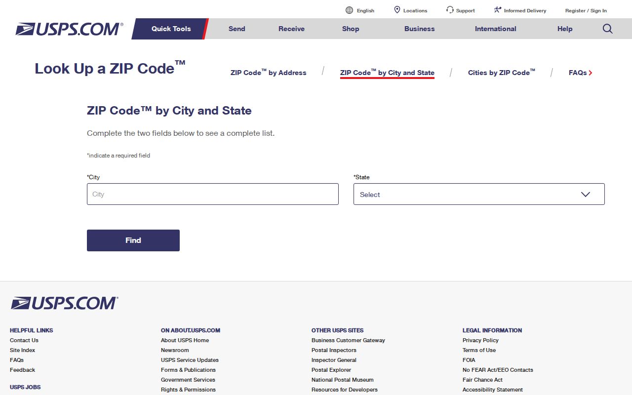
The USPS ZIP Code Lookup is the authority for a current postal result. Its documented routes are city and state or an exact street address. Enter the full address when one is available, and save the returned ZIP and city line exactly as presented. A city-and-state search is useful for discovery, but it cannot settle the route for a particular property. The research did not capture the live Bryan output, so it does not claim individual delivery types or station names.
The USPS lookup is the source used to confirm a current Bryan postal result before it is compared with other geographic layers.
Keep a source date with every postal search. A returned ZIP is a mailing result, while the city line may differ from a parcel, precinct, or municipal map. When a result differs from a historical list, retain both with their dates instead of treating the older source as a current delivery decision.
Note: USPS must confirm a specific street because a Census area and a historical postal list cannot promise present delivery service.
Bryan ZIP Search Steps
A ZIP designation can narrow an address investigation, but Bryan records are not all searchable by ZIP. The reliable workflow moves from the current postal answer to local geography, then to the record system that holds the question at hand. This preserves the difference between mail service, city jurisdiction, and property information.
- Run the complete street address through USPS and save the ZIP and city line as returned.
- Compare the point with the City GIS BRAZOS ZIP CODES and BRYAN CITY LIMITS layers.
- Use a Census ZCTA only for statistical context, and label it as a ZCTA rather than a delivery boundary.
- Use BCAD Street Number and Street Name, or a property ID, when the next question concerns a parcel. BCAD did not expose a dedicated ZIP field.
- For historical work, record the postal source date and compare dated directories, postal guides, or archival maps. An older address may predate ZIP codes.
Once the postal area has narrowed the search, an exact address can be traced through the Bryan street directory using GIS, BCAD, and land records. The ZIP is a geographic lead, not a substitute for that address chain.
Bryan ZIP Layers and City Limits
The City of Bryan Address Management service places BRAZOS ZIP CODES beside BRYAN CITY LIMITS, STREETS, ADDRESS POINTS, properties, subdivisions, council districts, and historic districts. That pairing makes the service the best local cross-check when a postal designation appears to cross a municipal line. It also makes clear why a ZIP designation should not be used as a proxy for being inside Bryan.
Compare the mapped ZIP layer, city-limit layer, and address point without forcing them to agree. A mailing address can conflict with a parcel or city boundary for legitimate reasons. The documented service supports JSON, GeoJSON, and PBF response formats and has a 1,000-record maximum. That number is a response cap, not a map boundary or a count of local addresses.
Boundary check. If USPS, City GIS, Census ZCTA, and a parcel record disagree, retain each labeled value and ask the relevant custodian to resolve the specific question.
Observed Bryan ZIP Fields
The research found no dedicated BCAD ZIP filter. It did document a small set of search inputs that can be used without inventing an unobserved ZIP search mode. USPS is the postal lookup. City GIS supplies a visible ZIP layer. BCAD can move from an exact address or property identifier to parcel context, but it should not be described as a ZIP-wide people search.
| System | Observed input or layer | Known use |
|---|---|---|
| USPS Lookup | City and state | Find postal results for a place name. |
| USPS Lookup | Exact street address | Verify the postal ZIP and city line for one location. |
| City Address Management | BRAZOS ZIP CODES layer | Compare ZIP geography with address points and city limits. |
| BCAD property search | Street Number and Street Name | Find parcel context after the address is known. |
| BCAD property search | Property ID or Geographic ID | Reconnect a parcel result to mapped and land-record research. |
Research did not establish that the current Tyler, Citizenserve, or BCAD advanced interfaces expose a ZIP filter beyond the visible fields. Check those live interfaces before treating a screen as ZIP-searchable.
Census ZCTAs Around Bryan
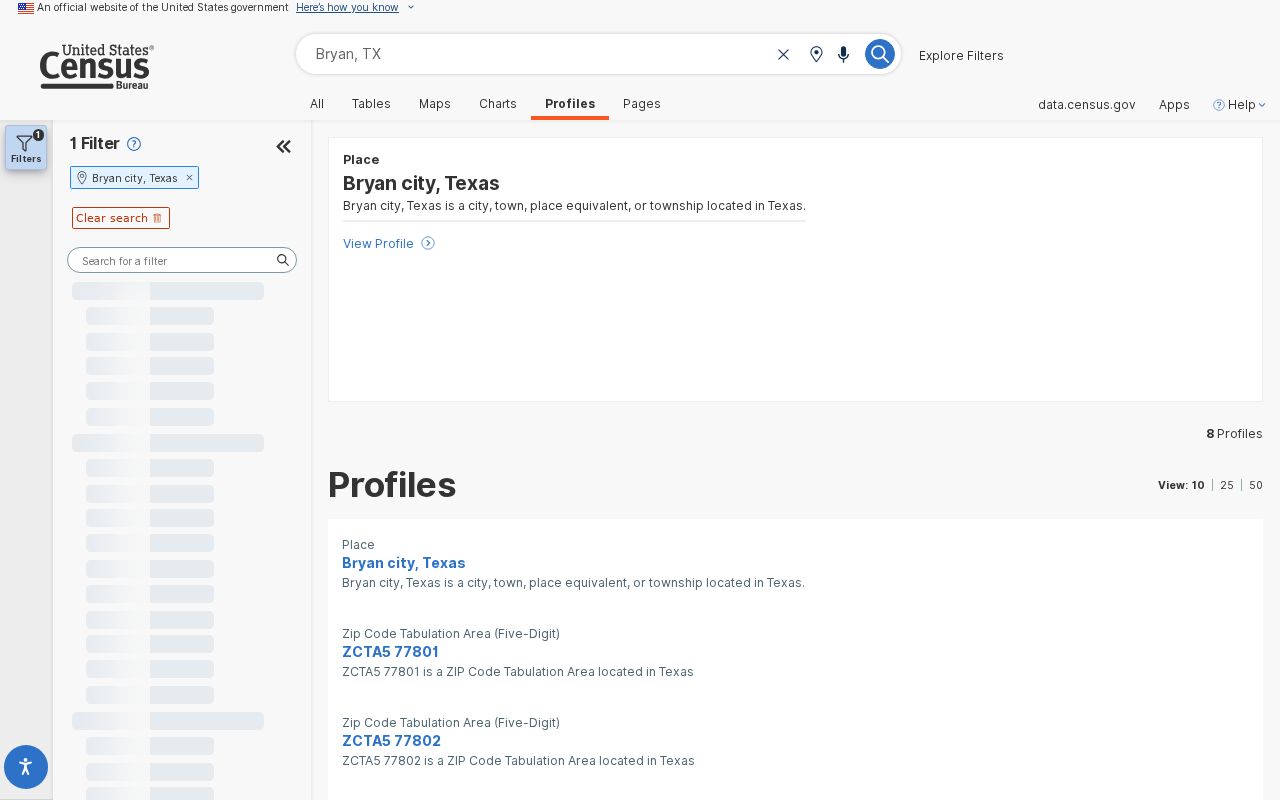
Census profiles distinguish Bryan, Texas from ZCTA profiles that include 77801, 77802, 77803, 77807, and 77808. A ZCTA is a Census statistical approximation of ZIP geography. It can provide population or demographic context, but it is not a USPS delivery-boundary promise and should never overwrite a current postal result.
The Census profile supplies the Bryan city and ZCTA context used to keep statistical areas separate from postal routing.
A ZCTA can make a boundary mismatch easier to spot. It cannot certify an address’s delivery ZIP, establish a city-limit location, or identify a current person at an address. Labeling each source by purpose avoids those errors.
Historic Bryan ZIP Leads
Dated postal material is especially useful when an older document shows a Bryan ZIP designation that does not align neatly with a current search. The official sources reviewed include a 2024 Postal Bulletin association for 77801, 77802, 77803, 77807, and 77808, an older 2015 Bryan and College Station context for 77805 and 77806, and the Texas General Land Office postal PDF listing several Bryan entries. Their different dates and purposes explain why they should not be collapsed into one current coverage map.
For a historical address, preserve the publication date, the way the ZIP was printed, and the street or city wording found in the record. Then compare it with an archival map, city directory, or the current USPS result. A pre-ZIP address should be researched through its period street and place names rather than assigned a modern ZIP retrospectively.
Note: A postal list can document an association at publication, but only a current USPS result can answer the present delivery question.
College Station ZIP Context
Census profiles also identify 77840 and 77845 as College Station-area ZCTAs. They are useful when a countywide or metropolitan search crosses into the neighboring city, but they are not Bryan postal labels. Do not place either in a Bryan coverage list without a specific USPS result for the exact address being researched.
This distinction matters because a county resident, a postal addressee, a city resident, and a parcel owner are different geographic categories. Brazos County systems can serve more than one city, while a postal result can cross city lines. Record which geography each source actually describes.
Bryan ZIP Terms
Postal and statistical terms look similar but answer different questions. Use the label shown by the source and avoid converting one type of geographic result into another.
- ZIP
- A postal routing designation confirmed for a current address through USPS.
- ZIP+4
- An added postal detail used with a ZIP for a more specific delivery point or segment.
- ZCTA
- A Census statistical approximation of ZIP geography, not a USPS delivery-boundary promise.
- PO-box ZIP
- A postal designation that needs USPS confirmation before it is treated as a street-delivery result.
- Carrier route
- A postal delivery-routing concept that should not be treated as a city boundary or resident list.
Limits of Bryan ZIP Results
A Bryan ZIP code directory helps compare geographic labels, not identify every person connected to an area. A current USPS result can confirm a postal ZIP for an exact address. City GIS can show local ZIP and city-limit layers. Census can provide a ZCTA. BCAD can provide parcel context after an address is known. None of those sources alone proves present residence, ownership, or municipal status.
Use personal, family-history, property, and civic research with care. Keep protected information out of a personal record trail, preserve dates and source URLs, and describe disagreements rather than guessing which system is wrong. Postal geography changes, records carry different update cycles, and an unresolved mismatch is often a reason to consult the custodian rather than a reason to discard a valid record.