
Bryan Previous Residents by Era
Each source answers a limited question about previous residents at a Bryan address. The Brazos County deed series traces recorded transfers. Directories and telephone books can place a listed name at an address. Tax rolls give yearly property context, while maps document the site rather than a person. Probate and court material can explain a transfer that does not appear as an ordinary sale. The TSLAC Brazos County inventory identifies the historic reel-level runs. Use the source nearest the date in question, then test it against a second record.
| Source | Years It Covers | Where Held | What It Shows |
|---|---|---|---|
| Brazos deed records and index | Records from 1841; TSLAC index 1841–1899 and deed reels through 1886 | County Clerk, PublicSearch, TSLAC/TAMU microfilm | Conveyances, legal descriptions, grantor/grantee chain, and filing date |
| Deed of Trust series | 1874–1889; index 1874–1902 | TSLAC reel inventory and County Clerk | Financing, trustees, releases, and secured-party clues |
| Brazos tax rolls | 1842–1910, plus an 1841 earlier-county roll | TSLAC/TAMU microfilm | Annual property context and value changes, not title proof |
| City and telephone directories | Local city-directory editions back to 1937; telephone leads back to the 1920s | Carnegie and Texas A&M | Address, telephone, street-section, and historical listing clues |
| Sanborn maps and city imagery | Local Sanborn coverage back to the 1880s; city imagery 1936–2024 | Carnegie/TAMU, Library of Congress, City GIS | Building footprint, use, layout, and visible site change |
| County court and probate | Civil/district series 1841–1904; probate 1844–1886 among listed runs | TSLAC/TAMU and clerk offices | Heirs, partitions, litigation, and property descriptions |
A recent address question usually begins with the parcel and the recorded chain. An earlier Bryan question may begin on TSLAC microfilm, then move forward through tax material and local directories. A gap is meaningful only when its exact source, date span, and name form are preserved.
Bryan Deeds Begin in 1841
The Brazos County Clerk identifies deed records beginning in 1841. The official land-record index is the practical online starting point, but early research shifts to the clerk counter or the TSLAC reel inventory. The state inventory lists deed records from 1841 to 1886 and an index from 1841 to 1899. It also lists the separate deed-of-trust records and indexes, which can explain a loan, trustee, release, or security interest that a simple deed search misses.
Use a filing date with care. It tells when an instrument entered the record, not necessarily when the parties agreed to a transaction or signed it. A Bryan chain may also move through inheritance, marriage, divorce, partition, a lawsuit, or an estate. Previous residents research should label those paths rather than forcing every change into a sale.
The County Clerk’s filing and historical-access information is the useful official lead for copies, recording, and clerk access.
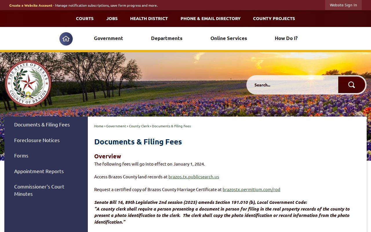
The clerk route supplies the recorded-instrument side of a Bryan address history; it does not independently establish who was present at the address on every date.
Trace the Brazos Deed Chain Backward
For a Bryan address, begin with the current parcel context and move from the latest recorded conveyance toward earlier ones. BCAD supplies appraisal context, but it cautions that legal descriptions and acreage should be verified with the Clerk. The durable key is the legal description, not merely a street label. Lot, block, addition, abstract, survey, and parcel identifiers help bridge a renamed street, a parcel split, or a changed address.
- Record the BCAD owner display, property ID, geographic ID, legal description, and situs address. Keep any mailing field separate from the property address.
- Search Brazos PublicSearch for the current owner as grantee and for the legal-description clues. Save the instrument number, recorded date, grantor, grantee, deed type, and description.
- Use the prior grantor as an earlier grantee. Recheck the same lot, block, addition, abstract, or survey as the search moves backward.
- Review deeds of trust, releases, plats, liens, easements, and probate or heirship material where the transfer path breaks.
- When the online result no longer reaches the needed period, consult the County Clerk, TSLAC reel/index numbers, or Carnegie and Texas A&M microfilm access. Mark the unresolved interval instead of guessing.
- Grantor and grantee
- The grantor conveys an interest in an instrument; the grantee receives it. Those roles change from one document to the next.
- Chain of title
- A sequence of recorded and related transfers used to follow interests in one parcel over time.
- Legal description
- The lot, block, addition, survey, or metes-and-bounds language that identifies land more reliably than an older street address.
- Recorded date
- The date an instrument was filed in the public record. It is not automatically the date of the underlying transaction.
Bryan Tax and Probate Clues
Tax rolls locate property in a given year and can show a changing assessed value. TSLAC lists Brazos County rolls from 1842 through 1910, plus an 1841 roll tied to the earlier county organization. A rise in value can be a useful lead for a structure change or new ownership, yet reassessment and boundary changes can produce the same pattern. Pair the roll with a deed, map, or permit record before drawing a conclusion.
Probate can fill a deed-chain gap. The listed historic probate runs reach into the nineteenth century, and a file may name an executor, heirs, an inventory, or a property description. Civil and district-court series can also reveal a partition or dispute. A witness, attorney, guardian, or surety named in a file is not necessarily the principal party, so the disposition matters.
Note: A tax roll, probate file, and deed each document a different event, and no one of them proves every part of an address history.
Bryan Previous Residents in Directories
Recorded owners and past residents are not always the same people. Bryan and College Station city directories survive locally back to 1937 at Carnegie and Texas A&M, arranged by personal name and street address. Telephone-directory leads are scattered back to the 1920s. A street section can supply a historical address clue, but each edition has its own coverage and a missing listing is not proof that a person was absent.
For the directory shelf itself, use the Bryan city directory collections. At an address-history level, pair a directory edition with the matching census year, then test the name, address, and family relationships against a deed, newspaper, cemetery entry, or probate record. That sequence reduces same-name errors and makes it clear whether the evidence concerns a recorded interest, a historical listing, or a family connection.
- Choose the directory edition nearest the period at issue and record the printed address, name form, telephone clue, and any street-section context.
- Locate the matching census year and compare the address or neighborhood, household names, ages, and relationships.
- Check a deed or tax record for the parcel description, then use an obituary, cemetery record, or probate file only as a separate supporting source.
- Preserve an unresolved mismatch. Street changes, initials, and incomplete telephone coverage can create a false match.
The Texas State Library city-directory guide describes the broader directory research landscape and helps distinguish a historical listing from a current fact.
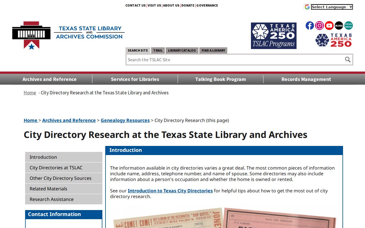
Directory evidence becomes stronger when its edition, page, address form, and companion record are kept together.
Bryan Maps Date a Site
Sanborn maps contribute site context, not a roster of names. The local house-research guide reports irregular Bryan coverage back to the 1880s, and the Library of Congress provides a Bryan sheet from 1950. Those maps can show a building footprint, materials, use, street width, or block layout. City GIS adds historic imagery from 1936 through 2024. Compare image dates carefully, because visibility of a structure does not prove the date of construction, title, or presence of a particular person.
Aerial imagery and maps are most useful after the legal description is known. They can reveal a parcel split, altered street alignment, or change in the structure before the search returns to deeds and historical listings. The record date, layer name, scale, and visible disclaimer belong with any visual inference.
Bryan Records Have Deep Roots
Brazos County was created in 1841, and Bryan has been the county seat since 1866. That chronology explains why an early address trail can move between county material, townsite history, maps, and later city collections. The Bryan 150 chronology records the townsite in 1860, the county-seat move in 1866, rail and telegraph service in 1867, and the first Bryan-A&M telephone connection in 1883. These date pegs can narrow a newspaper, map, or directory search.
The Bryan 150 timeline is a starting point for the city history behind an older address.

City history can date a neighborhood or institution, but the individual address trail still requires record-by-record verification.
Respect Bryan Previous Residents Privacy
Historical research is strongest when it is narrow and source-led. Texas protection rules can suppress an address or other identifying information, and an absence may reflect confidential treatment, a spelling variant, an unindexed image, or incomplete coverage. Do not attempt to reconstruct an Address Confidentiality Program or protected-voter address from maps or related data. The Secretary of State’s address-confidentiality guidance is the public reference for that boundary. For a restricted government record, use the custodian’s lawful request or review process.
Lawful use. Bryan previous residents research can support family history, estate questions, and address history. Do not use public records to stalk, harass, threaten, or harm anyone.