
Trace a Bryan Street Directory
A Bryan street search works best as a chain, not as a single name match. Start with the mapped address and make a separate note of the parcel or geographic identifier. The appraisal record can supply current property context, while a deed can show a recorded transfer. Registration material and historical directories have narrower roles and may be protected, incomplete, or dated. Treat each result as evidence for a particular question: where the property is, who received it by instrument, or whether an older publication printed an address.
- Address: locate the street and address point in the City of Bryan GIS, then record the visible layer and query date.
- Owner: search the same address in BCAD and keep the situs address separate from any mailing information.
- Deed: use the owner name, subdivision, lot or legal-description clues in the County Clerk land index.
- Voter: use the official Brazos verification or roster route only for the limited public information it lawfully returns.
- Criss-cross directory: ask a repository to confirm an address-arranged run before using it as historical household evidence.
That order prevents a common mistake: treating an appraisal display, deed role, or postal address as proof of present residence. For a named person rather than a street, the records should be checked with a second dated source.
Bryan Streets Start With GIS
The City of Bryan GIS is the local starting point for an address-first search. Its applications cover streets, properties, address points, planning and zoning, historic districts, neighborhood associations, cemeteries, school zones, new development, and historic imagery. The public Address Management service also lists address points, properties, streets, subdivisions, city limits, ZIP codes, council districts, historic districts, and manufactured-home-park layers. A map is useful for reconciling place names, but it is not a title opinion, legal boundary, or survey.
The City GIS page shows the Bryan mapping entry point used to compare street, address, and historic-imagery layers.
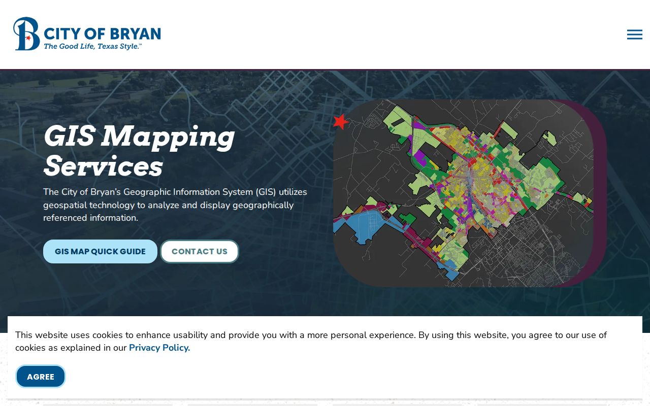
After locating a point, preserve the street spelling, layer name, scale, and access date. The Address Management MapServer supports JSON, GeoJSON, and PBF queries and has a 1,000-record response cap, which is a technical response limit rather than a definition of a Bryan neighborhood.
Note: A mapped address point helps identify a place, but it does not establish title, occupancy, or an exact municipal boundary.
BCAD Fields for Bryan Addresses
Brazos Central Appraisal District property search has By Owner, ARB Search, and Advanced tabs. For a Bryan street directory search, the practical fields are Street Number and Street Name, with property and geographic identifiers available for reconciliation. BCAD directs users to enter first and last names separately when searching a person, and to omit a prefix, suffix, and unit from Street Name if the address parser does not return the parcel. Its values are appraisal context, not a replacement for the County Clerk’s title record.
| BCAD field | Use in a Bryan street search | Research limit |
|---|---|---|
| Street Number | Pairs with Street Name to narrow an address. | Use the address as mapped, then check variants. |
| Street Name | Finds the road portion of an address. | Omit prefix, suffix, and unit when needed. |
| Property ID / Geographic ID | Anchors the appraisal result to map and deed research. | Keep it with the query date. |
| Subdivision / Neighborhood / Abstract | Supplies legal-area clues for land-record searches. | Verify legal descriptions with the Clerk. |
| Tax Year / Property Type | Places appraisal context in a stated year. | Preliminary values can change during review. |
BCAD also exposes owner name, property type, condominium, DBA, protest, and date-related advanced fields. Its public parcel card was not captured during research, so the exact visible labels and any display treatment for mailing and situs information should be checked live before relying on a field.
Bryan Deeds Along the Street
The Brazos County official land-record search is the route from a Bryan address to recorded instruments. Quick Search accepts a search term and recorded-date range, including quick date ranges from the last 24 hours through one year. Search Index Only treats multiple words separately, while Search Index & Full Text uses OCR and treats multiple words as a phrase. Advanced Search can narrow the work further.
Search the current owner in both grantor and grantee roles, then test the subdivision, lot and block, legal description, estate or trustee name, and a focused date range. Record the instrument number, recorded date, party roles, legal description, book or page reference, and image identifier when supplied. Recording dates and transaction dates are not always the same. Brazos deed records begin in 1841; older runs may require the Clerk counter or Texas State Library and Archives Commission and Texas A&M microfilm research.
The official land-record search illustrates the Bryan deed-index route for grantor, grantee, and recorded-date research.
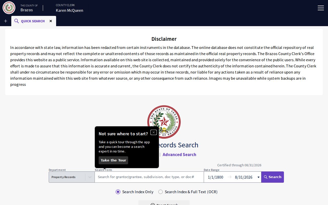
A deed can identify a conveyance role and a recorded instrument. It does not alone show who lived at the address, and a property-search name is not a complete lien or title search.
Bryan Street Records by Address
Several custodians hold records that can be keyed to the same Bryan address, but the records answer different questions. The table keeps the address chain distinct: appraisal for current parcel context, GIS for mapped context, land instruments for conveyances, and defined city requests for material not exposed in a public field search. Combine identifiers rather than assuming one screen settles every question.
| Address record | Keeper | What it can show | Access route |
|---|---|---|---|
| Current appraisal card | BCAD | Owner display, address context, property or geographic ID, tax year, and map clues. | Public search; account documents use the taxpayer portal. |
| Deed and deed-of-trust index | Brazos County Clerk | Grantor, grantee, instrument details, recording date, legal description, liens, and releases. | PublicSearch, Clerk counter, and historic microfilm. |
| Address and parcel GIS | City of Bryan / county GIS | Address point, parcel geometry, streets, ZIP, limits, districts, and imagery. | Public mapping layers with map disclaimers. |
| Plats and easements | County Clerk / City Development Services | Lot, block, addition, parcel layout, easement, or right-of-way context. | Land records or a defined city request. |
| Permits and inspections | Bryan Development Services | Construction, plan, inspection, and land-use activity tied to an address. | Citizenserve account access or a focused request. |
| Code case context | Bryan Code Enforcement | Case timing and location context. | GIS service map; public case fields were not located. |
The appraisal parcel should be compared with the deed legal description and city geometry. Addresses can change, parcels can be split or combined, and an owner’s correspondence destination may differ from the property’s situs address.
Note: When an address and legal description conflict, retain both values and ask the responsible custodian which record controls that question.
Bryan Permits and Code Context
Bryan’s CitizenServe MapServer adds BCAD parcels, city and ETJ boundaries, council districts, utility-service areas, variances, conditional-use locations, corridors, zoning, historic districts, flood zones, ZIP codes, and water or sewer service layers. It is useful for place context alongside the address layers. It is not a title opinion, and field-level queries should be checked against the live service.
The CitizenServe map service provides the Bryan parcel, zoning, and development-context layers used for an address comparison.
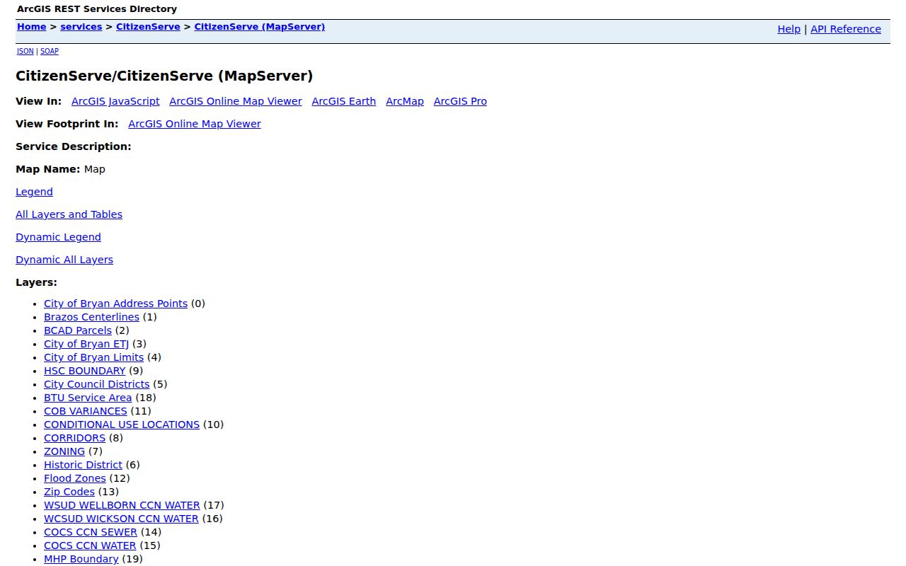
Use a map layer to frame a request, then ask for the specific record series and date range needed. A zoning or variance symbol does not by itself identify an owner or establish a person’s connection to the address.
Bryan online permitting uses Citizenserve. An account is required to apply, view status, comments, inspections, results, pay, and manage applications. Building permitting began there in June 2023 and development and engineering followed in June 2024. No public, no-login search fields were exposed during research.
The online permitting page shows the Bryan account-based route for permits and development records.
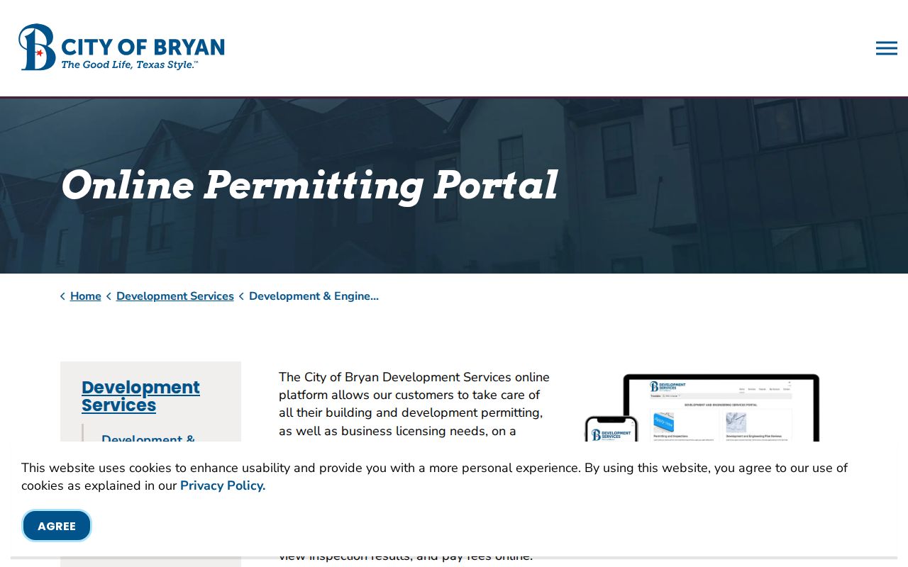
For a building, inspection, or code question not available in the public interface, request records sufficient to show permits, inspections, code cases, zoning actions, and historic-district decisions for the exact address or parcel over a stated date range. The documented no-login permit and code-case fields remain unknown.
Bryan Streets Through Historic Imagery
Historic imagery gives a Bryan street directory search a dated physical context. The City GIS lists imagery from 1936, 1940, 1964, 1971, 1973, 1979, 1988, 2008, 2011, 2013, 2015, 2017, 2019, 2021, and 2024. Compare one date at a time and record the source year. A changed footprint can suggest when further deed, permit, newspaper, or directory research is needed, but it cannot identify a resident.
For earlier building context, the Library of Congress Bryan 1950 Sanborn sheet shows footprints, materials, uses, and block layout. Local guides report irregular Bryan coverage back to the 1880s at Carnegie and Texas A&M repositories. Sanborn maps generally do not name occupants. Use the map first to test a structure or street alignment, then return to deeds and dated directories for people-related evidence.
Note: A historic image should be cited with its date and scale because visual placement is not a legal boundary determination.
Bryan Street District Clues
Street research becomes harder when the city or parcel pattern has changed. Bryan historical materials identify Freedman Town/Hall’s Addition, Eastside, Downtown, and North Oakwood among areas whose historical boundaries should be checked against current GIS layers. City exhibits identify maps from 1859, 1867, 1879, and 1880, while the historic-preservation plan adds dated district and property context. Preserve the map year, the historic label, and the current address separately.
The county seat moved to Bryan in 1866, and Bryan was incorporated in 1871. Those dates can help narrow a street-history search, but they do not prove that a modern address existed in the same form. The Bryan 150 timeline and the historic-preservation plan are place-context sources to compare with a deed, plat, or current map.
Requesting Bryan Address Records
When a portal stops short, ask the custodian for a defined record rather than a broad search about a person. The Bryan City Secretary records route can receive a request for address history, permits, inspections, code cases, zoning or land-use actions, and historic-district decisions for an exact address or parcel over a date range. State whether electronic GIS data, PDFs, or inspection is preferred.
For land instruments, ask the Brazos County Clerk for deeds, deeds of trust, liens, releases, plats, easements, and probate or heirship instruments indexed to the legal description or parcel owner. If an online search does not reach the period needed, the Clerk counter, Texas State Library and Archives Commission microfilm, Texas A&M materials, and Carnegie resources are the documented fallbacks. BCAD can provide public appraisal-card material for a property ID and requested tax years; account-only correspondence should not be presumed public.
Bryan Street Record Terms
Using the same words as the record keeper makes a Bryan address request easier to narrow. These terms also prevent the mapped address, appraisal record, and land instrument from being treated as interchangeable.
- Parcel
- A mapped piece of land used for appraisal and map reference. It may be split, combined, or described differently in older instruments.
- Situs address
- The address of the mapped property. It is distinct from a correspondence or tax-bill mailing address.
- Plat
- A recorded map that can show lots, blocks, additions, easements, or rights-of-way.
- Legal description
- The lot, block, addition, abstract, survey, or metes-and-bounds wording used to identify land in an instrument.
- Criss-cross directory
- An address-arranged directory that can be useful for a dated street section when the holding repository confirms its coverage.
Limits of a Bryan Street Directory
No Bryan street directory can establish every person connected with an address. An appraisal display can show current property context. A deed can show parties to a recorded instrument. A GIS point can locate a place. Election files have their own access rules, and protected voters or Texas Address Confidentiality Program participants may have suppressed or substitute-address information. A failed match can reflect a boundary, date, field rule, or protection rather than a conclusion about a person.
Keep public and nonpublic information separate. Do not republish sensitive fields from a source merely because a file contains a column. For a historic household, use a date-stamped directory, census source, or newspaper alongside the property chain, and label any unresolved gap. The historical directory collections are best handled as a separate source shelf in the Bryan city directory.
Lawful personal use. Bryan address records are for careful personal, family-history, property, and civic research. Do not use an address trail to stalk, harass, intimidate, or harm anyone.